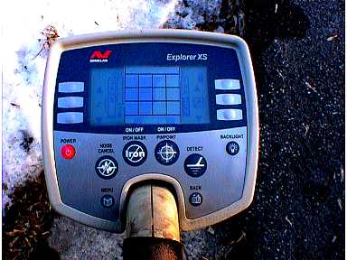
This an idea that I saw posted the "Finds BBS Forum" when the Explorer first arrived on the scene and the were none available in Canada. It was for people who wanted a greater range of numbers to identify targets in digital mode but where confused with the 2D screen. I have not used it in the field but thought it might be helpful for bench testing. The idea is that you can colour code the the addition squares where known targets are landing or make marks or a reference chart..
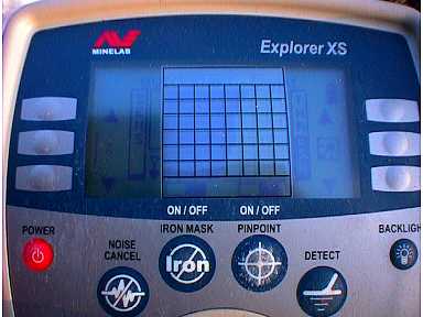
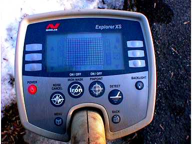
I have done three different grids each one half as many squares as the one before because I thought it might be too many for some and not enough for others. You just tape it in to position and away you go. Here are a few picture examples. At the end of the pictures is another image that if you click on it will start a down load of a Corel Draw 6 file that has be zip. Once I figure out how to get a bit map or jpg file to stay the correct size when you print it out I will post it here as well.
Just click on the picture to the left to start the down load
